Shair’s Earth Day Launch
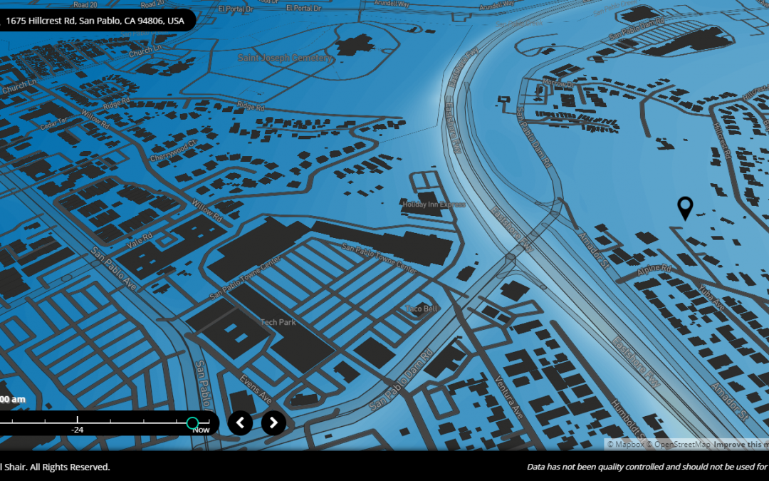
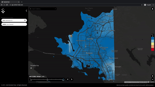
This Earth Day, the Shair team is excited to commemorate 50 years of environmental protection by launching the expanded Shair map, now covering all 9 counties of the Bay Area. Shair results for the SF Bay Area and Richmond modeling domains in California — see the map...
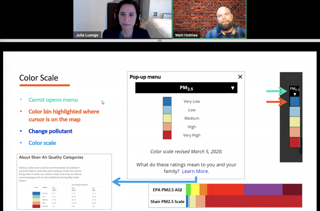
Shair March 2020 Webinar Q&A
Below are the answers to the questions we received in our webinar we hosted last month. Questions have been consolidated and anonymized. This article will be edited to incorporate a few more responses that are pending. Read more through our whitepaper – sign up...
How Shair Estimates Traffic Emissions
Written by Tasko Olevski and Prachi Goel If urban planning in the 20th century was defined by the rise and expansion of the Automotive City, the planning discourse of the early 21st century centers around how to deconstruct it. The motivations — fatal car accidents,...